Seattle Police report that two men were stabbed on Sunday night as they attempted to exit the Route 36 bus at Beacon Avenue South and South Graham Street, with one victim receiving life-threatening injuries.
According to police, the bus was stopped at Beacon and Graham at about 8:20 p.m. Two male victims walked down the aisle of the bus past the suspect, who then stood up and stabbed both men with a folding knife. One victim was stabbed in the back of the head and neck, and is being treated at Harborview for life-threatening injuries. The other was stabbed in the shoulder, and his injuries are non-life-threatening.
Officers arrested the suspect on the bus and recovered the weapon. It is not yet clear whether the suspect and the victims knew each other. Homicide detectives continue to investigate.
Seattle Transit Blog currently has a post up analyzing patterns of transit ridership on Beacon Hill’s Route 36. The post includes a chart that shows the average daily number of boardings and deboardings by stop. As one might expect, the stops at each end of the route are heavily used, as are the stops at Beacon Hill Station and the VA hospital. Stops in the International District along S. Jackson see a huge amount of traffic.
The author, Bruce Nourish asks that Beacon Hill neighbors comment on the STB post: “please let us know in the comments what else you see in this data that I’ve missed.”
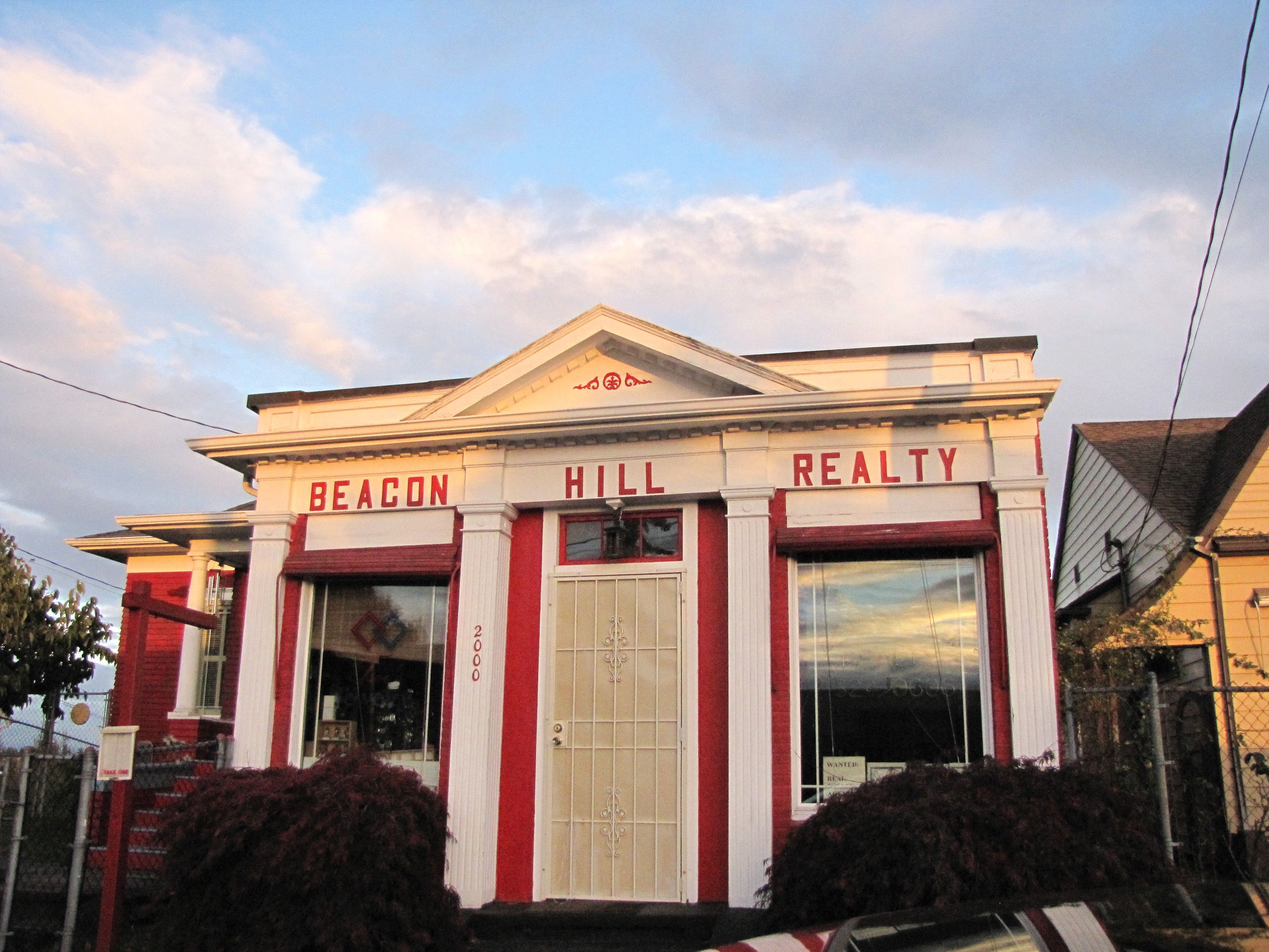
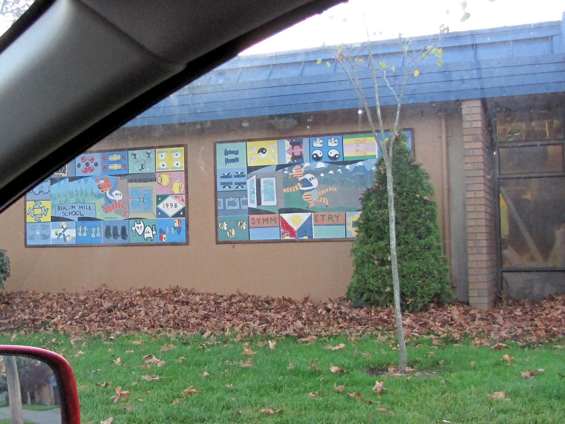
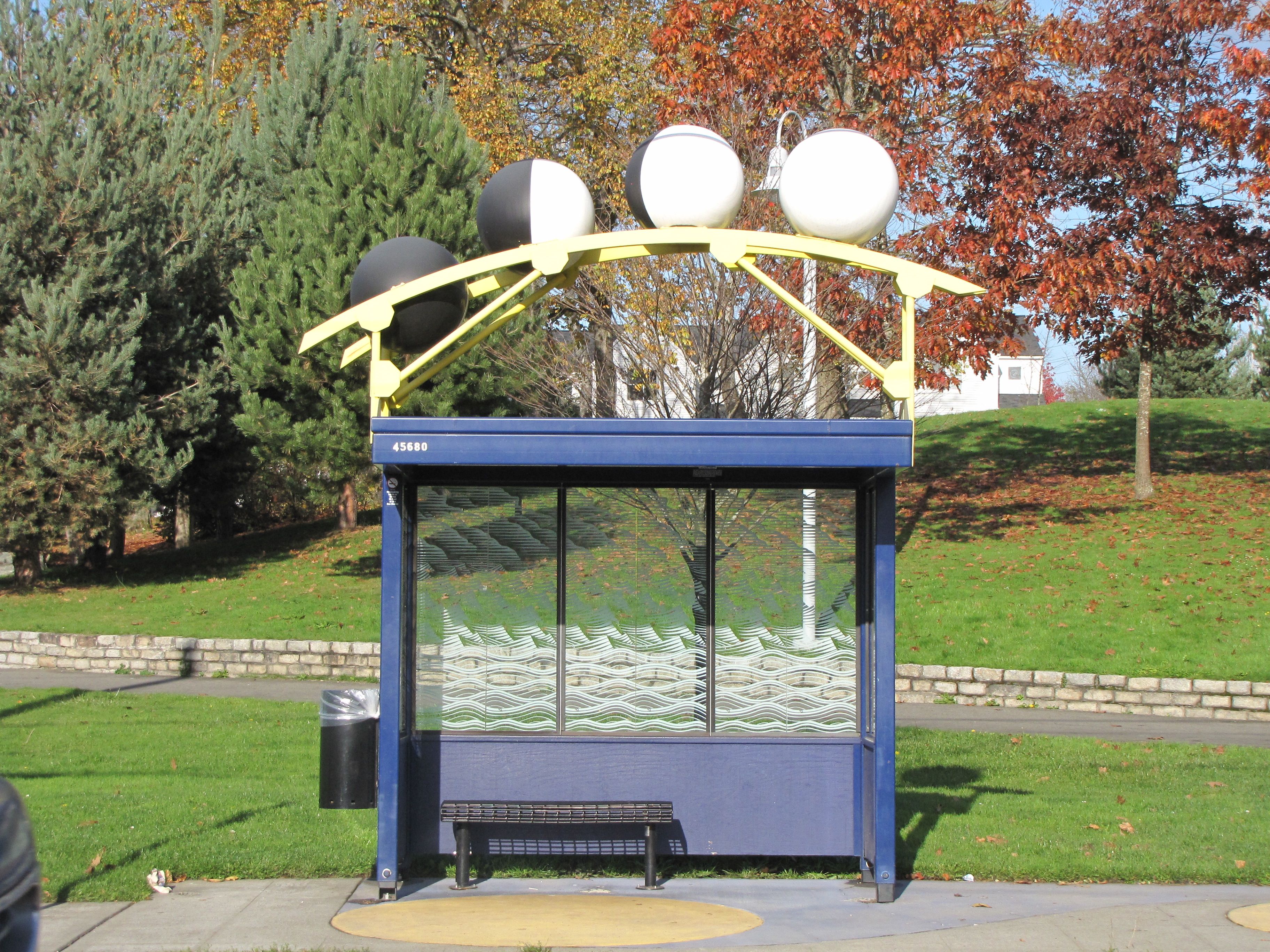
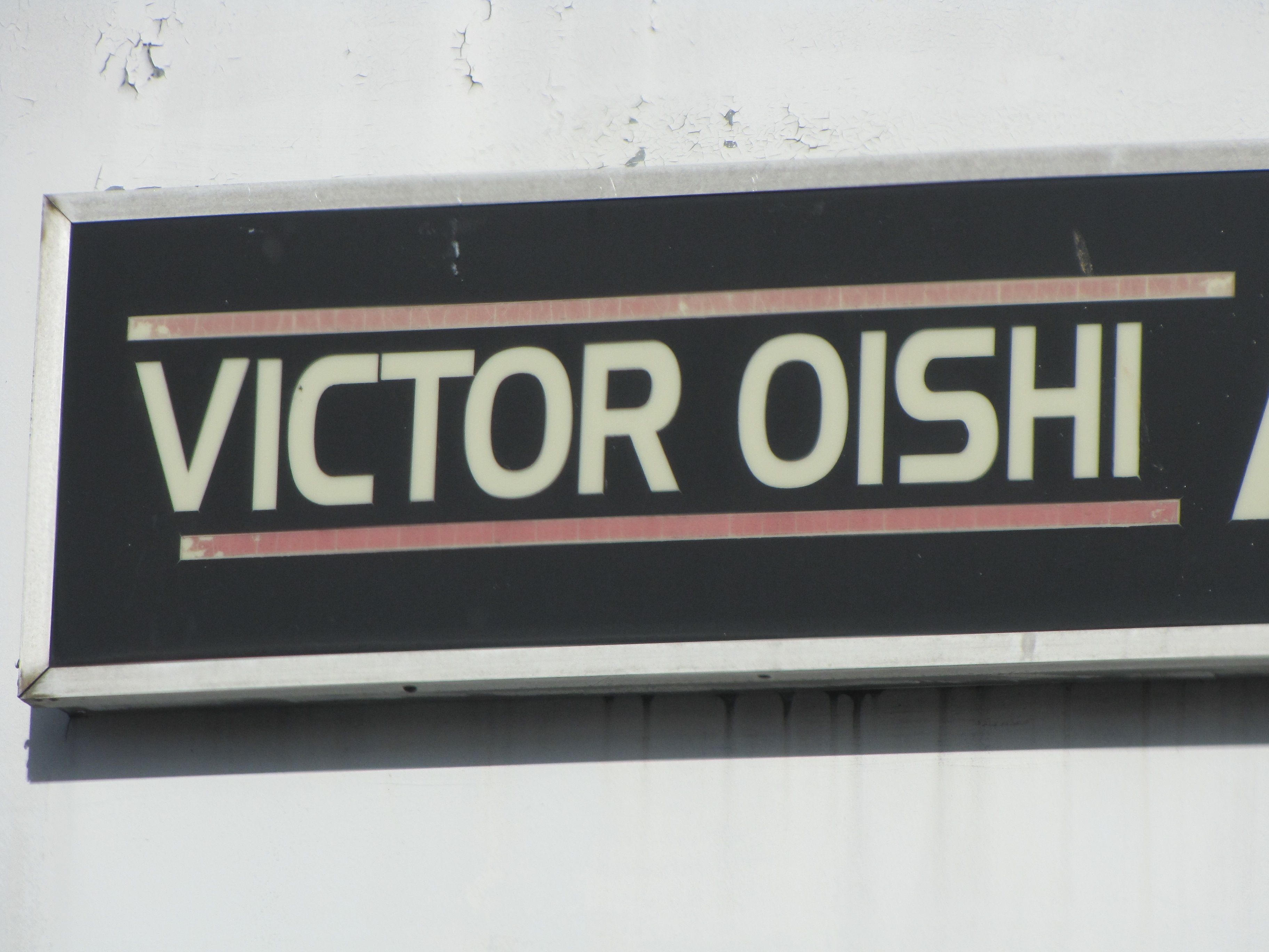
We recently posted the winners of the Sights of Route 36 contest, but have been reminded that we haven’t yet posted the answers! Here they are. You can click the links to see larger photos of each location.
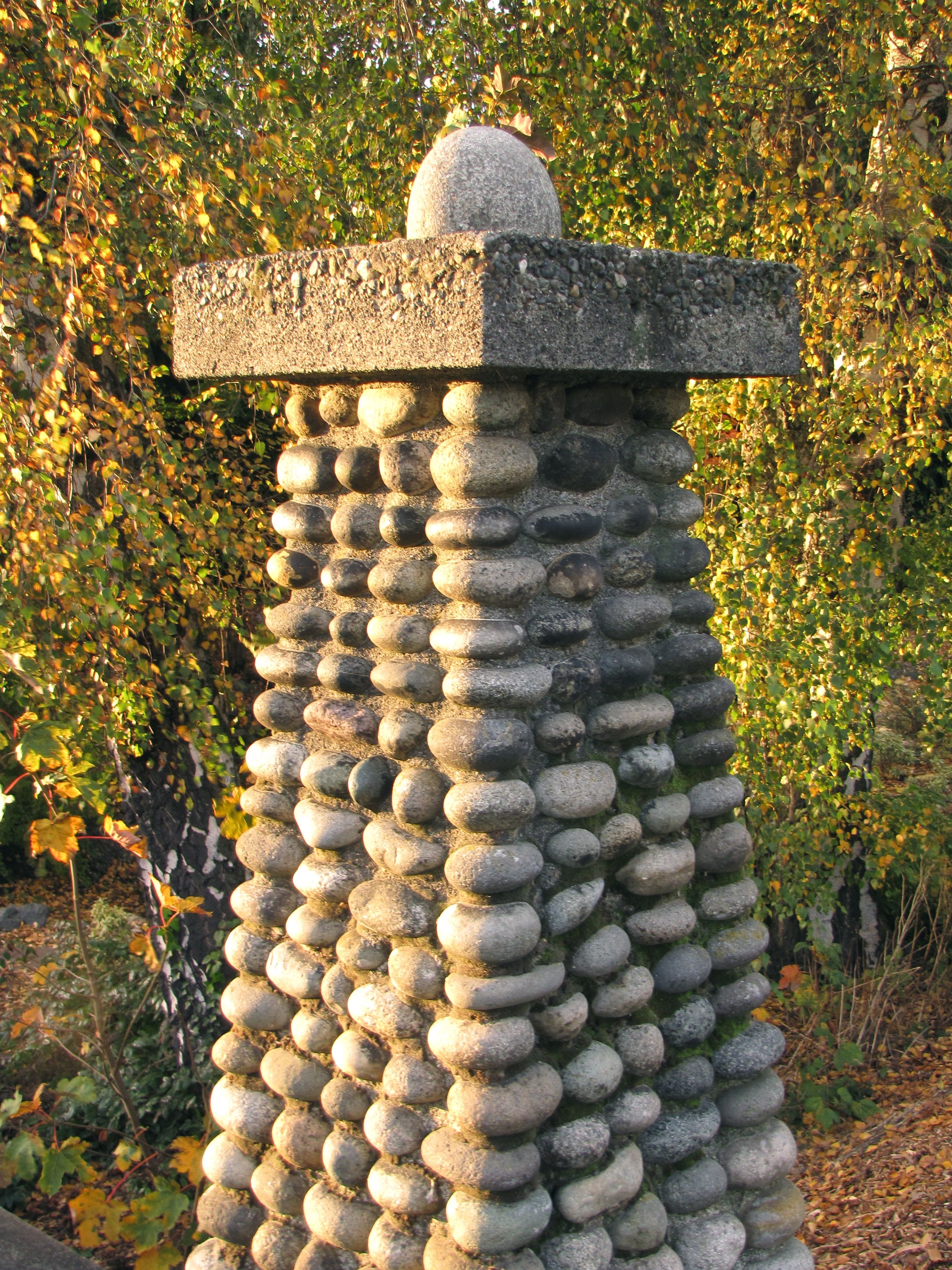
As you might remember, in the contest we posted 16 images of Beacon Hill locations that are on the #36 bus route. The first person to get all 16 right is the winner. As it turned out, both winners are couples who worked on the contest together!
In first place, with all 16 correct, are Liz Mack and Derrick. They win a NAMSAYIN “Know where you came from” t-shirt with a picture of the #36 bus, and a $50 gift card to The Station coffee house.
In second place, with 15 correct, are Lina Hwang and Nick Crivello, who win a NAMSAYIN shirt as well. Lina and Nick came up with more detail than Liz and Derrick did on a couple of the answers, but were unable to answer all 16.
We’ll post the answers soon, but first, we wanted to give you a couple of days to speculate on the answers yourself. The images are here. Where do you think those Route 36 sights might be found? Show off your knowledge in the comments here.
Here’s how the contest works. Below in this post, you’ll see 16 detail pictures of Beacon Hill locations that are on the #36 route. You need to identify all 16 as precisely as possible, then email your list of 16 guesses to us at blog@beaconhill.seattle.wa.us.
The first person to get all 16 right wins one of the NAMSAYIN t-shirts and a $50 gift card from The Station coffee house! The second person wins one of the NAMSAYIN shirts too! Unfortunately, sizes are limited — winners will probably get an XL. In the event of a tie, the person whose answers are most precisely located will win. If there’s still a tie, we’ll flip a coin.
Hints:
All locations are on Beacon Hill and within view of the #36 bus route. Some of the images may match something that is in another neighborhood. You need to find the location that is on the Hill. We’re defining the Hill’s east boundary as Martin Luther King Jr. Way South for the purpose of this contest. The north boundary is the south end of the Jose Rizal Bridge.
You could probably see most of them from the bus itself if you look hard enough.
Remember, be as precise as you can possibly be—it’s a tiebreaker. If two people are tied, and one guesses that an item is “at the Red Apple” and another guesses that it is “on the east side of Red Apple, above the doorway”, the latter guesser will win. (I can tell you that none of the photos are of the Red Apple.)
Questions? Let us know. Good luck! Now, on to the pictures:
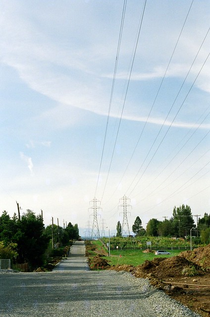
The last few weeks have been good for photographers on Beacon Hill, many of whom have been adding wonderful photos to the Beacon Hill Blog photo pool on Flickr. Here are some of the amazing Beacon Hill images from October. Your photos are welcome in the pool as well, and we’d especially like to see your views of the newly opened Jefferson Park.
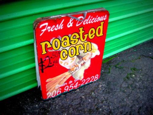
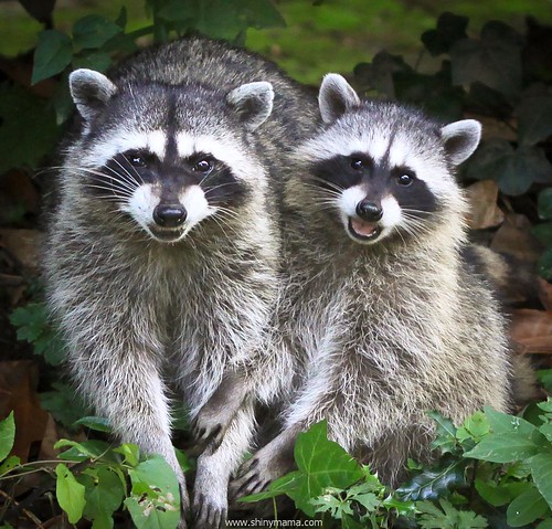
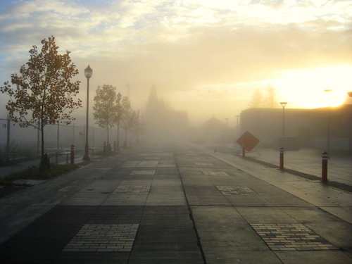
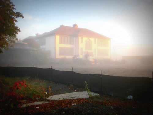
Photo by Bridget Christian.Roasted corn from MacPherson's. Photo by Joel Lee.Raccoons are common visitors to Beacon Hill yards. Photo by Bridget Christian.On October 29, Joel Lee took this photo of the Lander Festival Street in a morning fog.The Chief Sealth Trail extension is now under construction from Beacon Avenue to 15th Avenue South. Photo by kashgroves.Strange Halloween decorations in a Beacon Hill yard. Photo by Melissa Jonas.El Centro de la Raza in the fog. Photo by Joel Lee.
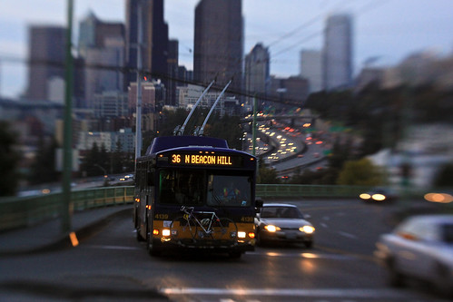
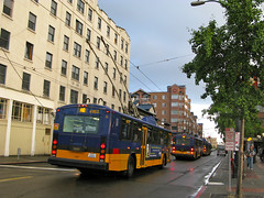
Electric trolley buses such as this one (downtown) have been a common sight on Beacon Avenue for decades. Photo by Oran Viriyincy.If you live along the northern part of the 36 bus route, you probably know that many of the buses on that route are electric trolley buses. The trolley buses are good neighbors to have around; they are quiet and don’t spew exhaust or contribute to global warming. Currently, Metro is facing a big budget gap, and there have been rumors that this may mean cutting back on electric trolleys or removing them entirely.
In an interview with Seattle Transit Blog, short-term County Executive Kurt Triplett said they have “3 years to make that decision” because the existing trolleys have that much service life remaining. Commenter “serial catowner” posted a skeptical reply:
Having seen some of this stuff go down in my previous life, I can tell you right now you’re in extreme danger of losing the electric trolleys–and getting them back wouldn’t be easy.
The process is disarmingly simple- first, when you ask, they tell you “Nobody’s thinking of that”. And then, suddenly, it’s all “Well, that decision was made long ago, there’s nothing to be done about it now”…
…If they weren’t quietly preparing to jettison the ETBs, Triplett’s answer would have been “No, of course not, we’re not going to lose the only buses we have that can keep running when oil prices go up”.
A follow-up comment from an anonymous “transit voter” struck home:
Serial Catowner has it correct. Just remember the George Benson Waterfront Streetcar Line, how it met its demise. The long knives were out, and they found their mark.
We don’t claim to have any inside knowledge on what Metro’s plans are for the trolleys, and anonymous commenters on a blog are not necessarily reliable, but it seems to us that if you like the electric trolleys that run on Beacon Hill and elsewhere in the city, it would certainly be a very good time to let someone know how you feel. You can email County Exec Triplett at kcexec@kingcounty.gov or use the mailing address and phone number on his website. You can also contact King County Council members Larry Gossett and Dow Constantine, who each serve part of Beacon Hill. Constantine is running for King County Executive, so contacting him with your concerns on this issue may be particularly important.
Metro has released their proposed service revisions. These changes will be discussed at the special joint meeting of the King County Council’s Physical Environment Committee and the Budget and Fiscal Management Committee meeting April 28th.


